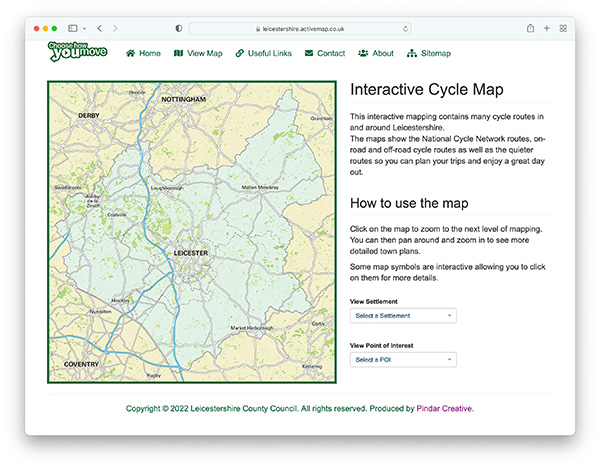
The cycle maps directory was initially set up as an internal resource for Pindar Creative staff to keep a record of the cycle mapping they were producing on the Internet back in 1997. In 2000, it was made public allowing other official publications on council websites to be added. It is now seen as one of the premier resources on the Internet helping cyclists locate free mapping for cycle routes and cycle paths in their region.
